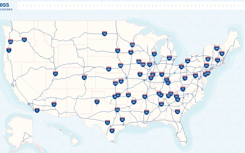
Geotab Traces Federal Interstate Highway Development

Telematics provider Geotab has released an interactive map graphic that shows the development of the U.S. interstate highway system from the 1950s until the present day. The interactive timeline shows a detailed look at the development of the infrastructure that began in 1956 with the building of the I-70 between St. Louis and Kansas City. …Read the rest of this story
Source:: http://www.truckinginfo.com/305127/geotab-traces-federal-interstate-highway-development
